3D scanning | As-built | Drone surveys | Scan2BIM
Get all services in one place!
Offer
Stockpile voulme and density measurement services
Inventories of the volume of landfill sites of slag heaps and aggregates by means of laser scanning and drone photogrammetry.
As-built measurements
Comparison of as-built condition with the original 3D documentation presented on a deviation map
Power lines measurements
Measurements and inspections of power supply lines for the purpose of their reconstruction and maintenance of the existing infrastructure
Building plans, elevation views, building sections. BIM models.
inventories based on the most modern 3D technologies , necessary to change the arrangement or reconstruction of a building
Industrial 3D scanning & modelling
3D scanning and modelling of complicated installations, machines and structures at industrial and production plants.
BIM 3D modelling
Measurement of 3D geometry of facilities using BIM technology in order to create structural designs and arrangements.
Why
PKIG?
- 40 people in our team
- 12 years of experience
- 7,6 thousand satisfied customers

Technologies
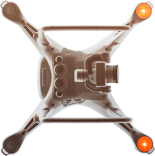
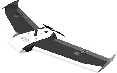
Drone photogrammetry 
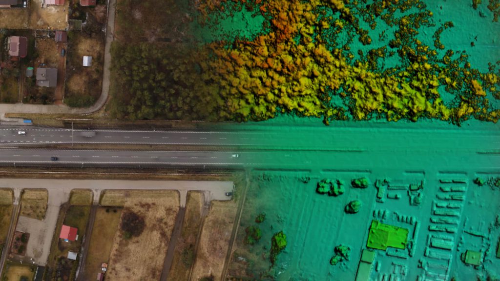
Advanced technology thanks to which we may obtain geometric data (location, dimensions) on the basis of high-resolution drone photographs. It is particularly useful in cases in which measurements with the use of traditional devices would be uneconomical or dangerous.
3D laser scanning 
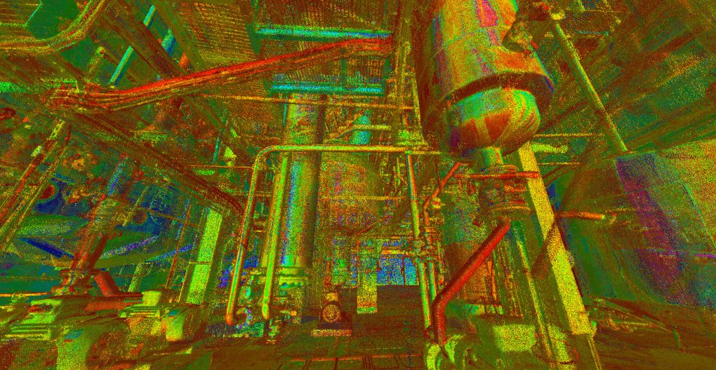
This technology allows to cover a facility with billions of points quickly and accurately. The most modern laser scanners measure up to 2 million points per second, performing a full 360-degree rotation around its own axis.
Panoramic photography 
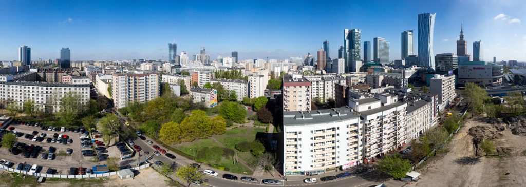
It is a perfect supplementation of the documentation of buildings. It allows for better understanding of architectural drawings so that a visual inspection of a building is not necessary. Panoramic views may also be obtained by means of a drone.
Team

Other areas of activity
Contact us
Are you interested in cooperation with us? Call us or write to us - we will answer all questions.





 +48 660 681 828